Ten census tracts in Hampton Roads are among the most at risk in the nation to the effects of climate change and natural disasters, according to the Federal Emergency Management Agency.
The local spots are part of 483 nationwide announced this week as the first set of Community Disaster Resilience Zones.
Each new resilience zone is a census tract that is especially vulnerable because of both environmental risks and social factors like lower incomes, language barriers and transportation challenges.
Congress directed the government last year to create the zones through a law of the same name. The program’s also part of the Biden administration’s focus on environmental justice.
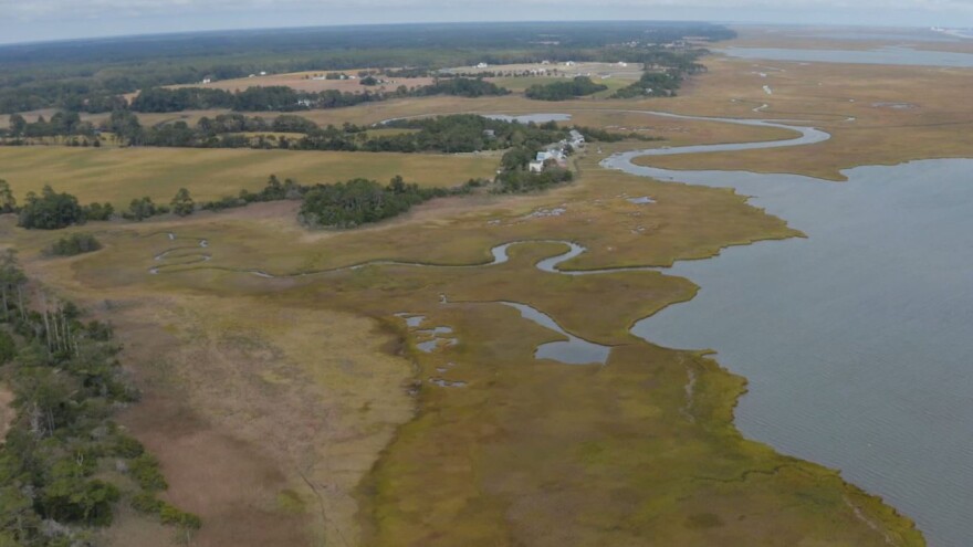
In Hampton Roads, the new resilience zones include spots in Newport News, downtown Norfolk, downtown Hampton, Naval Weapons Station Yorktown and a wide swath of the Eastern Shore.
The federal government will now use the designations to help prioritize money and technical assistance for community resilience projects, FEMA said.
The legislation allows the federal government to pay for more than its usual share of local projects in the zones, for example.
“These designations will help ensure that the most at-risk communities are able to build resilience against natural hazards and extreme weather events, which are becoming increasingly intense and frequent due to climate change,” FEMA Administrator Deanne Criswell said in a statement.
Lawmakers also hope other entities like nonprofits, universities and the private sector can use the zones to target their investments.
FEMA said it chose the zones by considering national and state-level natural hazard risk, “while accounting for factors that reflect disaster impacts felt by coastal, inland, urban, suburban and rural communities.”
The agency said it will announce more designations in the fall that include tribal lands and territories.


